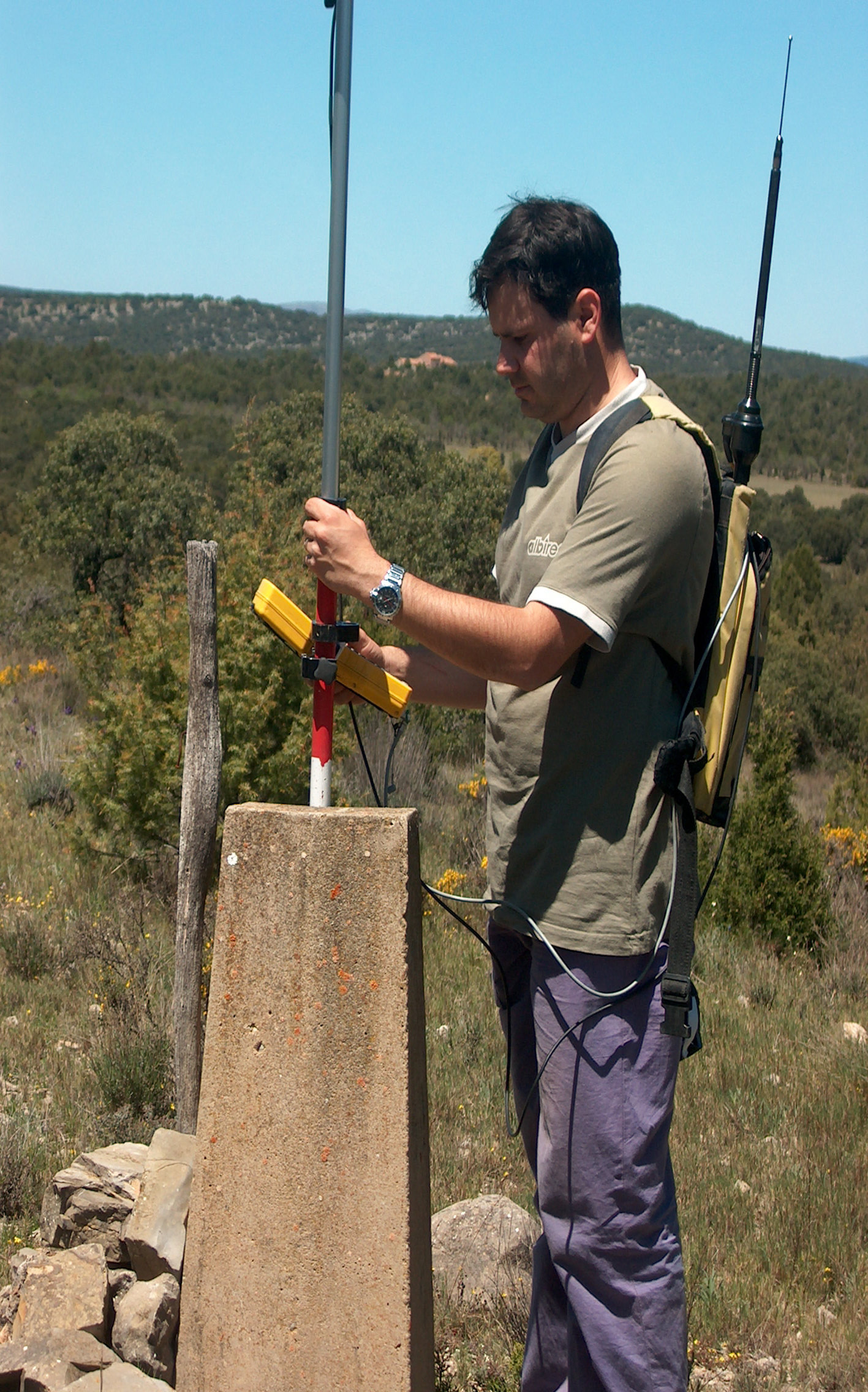
JURISDICTIONAL BOUNDARIES IN SPAIN. SURVEY AND MARKING OF BOUNDARIES IN TERUEL (SPAIN)
In the 1890’s and early 1900s, the National Geographic Institute (IGN) of Spain carried out geodetic studies required to georeference the boundaries of every single municipality in Spain, survey the boundaries and mark them out. The field notes for these studies still exist and can still be referenced today. Nowadays, most of the landmarks that…
