Natalia Garrido-Villén

Researching GNSS and Real Estate delimitation – Investigando sobre GNSS y delimitación de la propiedad

Menú

Ir al contenido
  • Inicio
  • Datos personales / Personal data
  • Divulgación
  • Docencia en la ETSIGCT de la UPV / Teaching at ETSIGCT in UPV
  • Investigación / Investigation

Etiquetas de las publicaciones: Deslinde

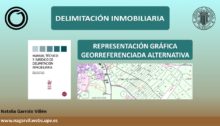
Representación gráfica alternativa georreferenciada

Representación gráfica alternativa georreferenciada (RGAG)

Desde la entrada en vigor de la Ley 13/2015, cualquier alteración de la cartografía catastral, tanto si su destinatario es el Catastro, como si lo es el Registro de la Propiedad, requerirá de una representación gráfica alternativa georreferenciada.
26 febrero, 2022 de CURSO CFP Delimitación Inmobiliaria, DOCENCIA.
Surveying Boundaries

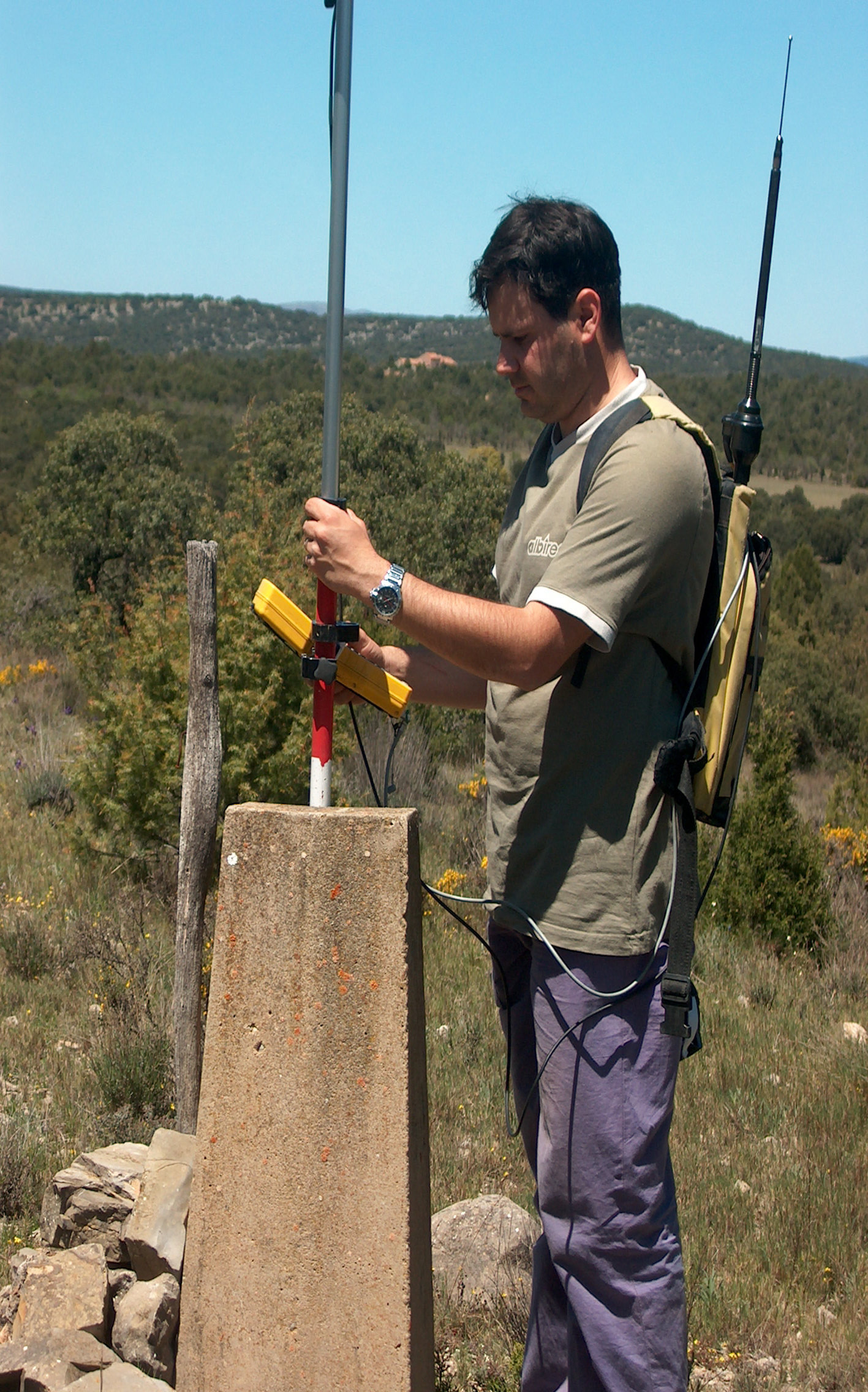
JURISDICTIONAL BOUNDARIES IN SPAIN. SURVEY AND MARKING OF BOUNDARIES IN TERUEL (SPAIN)

In the 1890’s and early 1900s, the National Geographic Institute (IGN) of Spain carried out geodetic studies required to georeference the boundaries of every single municipality in Spain, survey the boundaries and mark them out. The field notes for these studies still exist and can still be referenced today. Nowadays, most of the landmarks that…

3 febrero, 2014 de INVESTIGATION, SURVEY ENGINEERING.

Entradas recientes

  • Resolución alternativa de conflictos en delimitación inmobiliaria
  • Representación gráfica alternativa georreferenciada (RGAG)
  • Realidades inmobiliarias
  • RECURSOS DEL CATASTRO PARA DELIMITACIÓN INMOBILIARIA
  • Certificación registral

Comentarios recientes

  • Natalia Garrido-Villén en Mínimos Cuadrados y su aplicación para Topografía
  • Natalia Garrido-Villén en Señal GPS – GNSS: portadora, código y mensaje (5)
  • Natalia Garrido-Villén en Representación gráfica alternativa georreferenciada (RGAG)
  • Gedson Fernando en Mínimos Cuadrados y su aplicación para Topografía
  • OSCAR en Señal GPS – GNSS: portadora, código y mensaje (5)

Categorías

  • AJUSTE DE OBSERVACIONES
  • CURSO CFP Delimitación Inmobiliaria
  • DOCENCIA
  • GEODESIA ESPACIAL
  • GNSS
  • INVESTIGATION
  • Máster en Geometrías Jurídicas
  • Mètodes Topogràfics Valencià
  • MÉTODOS TOPOGRÁFICOS
  • Posicionamiento
  • Posicionamiento (español)
  • Positioning (English)
  • Prácticas de Métodos Topográficos
  • Prácticas Geodesia Espacial
  • Sin categoría
  • SURVEY ENGINEERING
  • Teoría de Metodos Topográficos
  • Teoría Geodesia Espacial

[bestwebsoft_contact_form]

Con la tecnología de WordPress | Tema: Expound von Konstantin Kovshenin